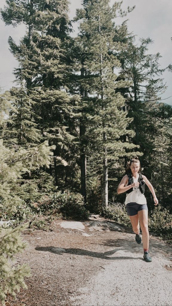
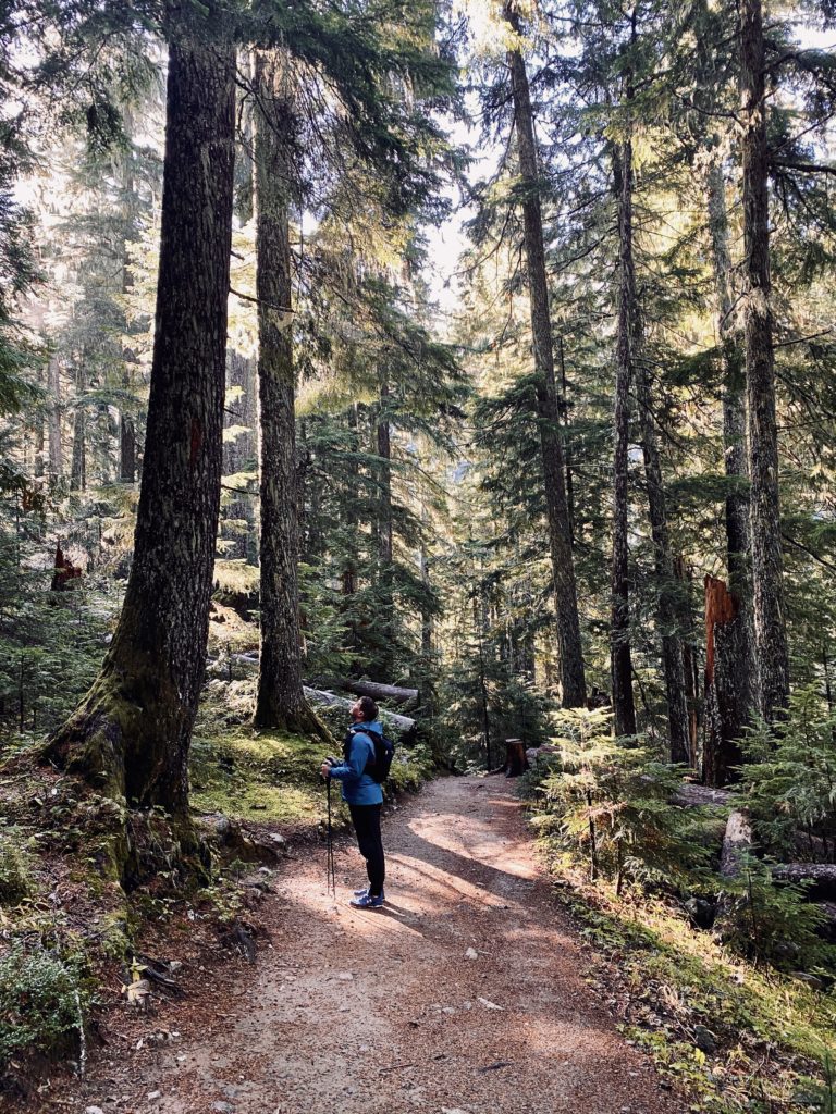
Ahhhh Vancouver…carefully nestled between the mountains and the sea. For those (like myself!) fortunate enough to call this “trail-runner’s-theme-park” home, we would be remiss to not spend each summer jaunting through the trees. But, with so many parks and mountain peaks at our fingertips, where do we start? What are the must-see trails?
Don’t worry! I’ve got ya covered!
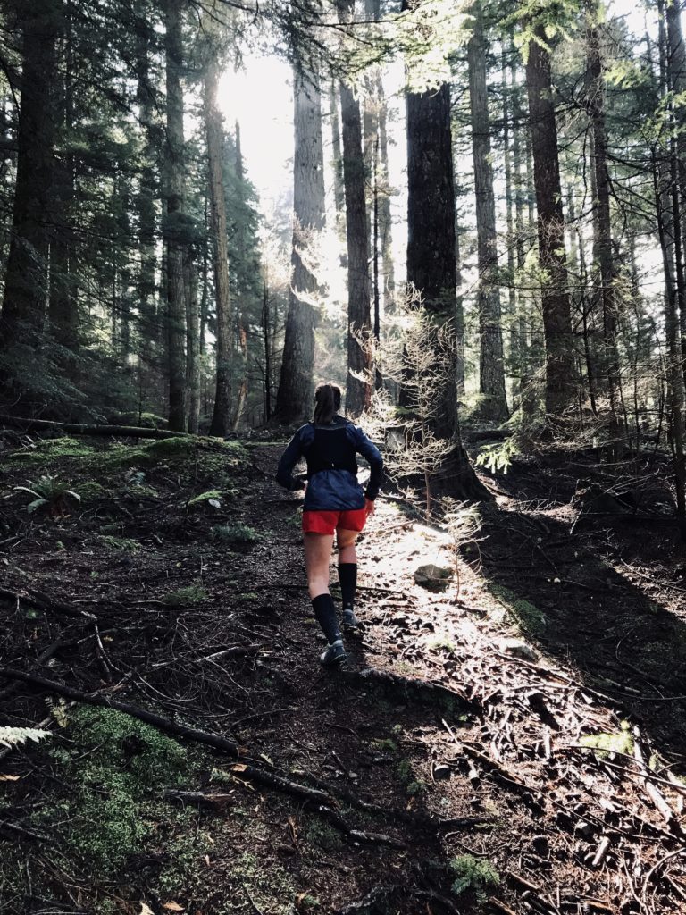
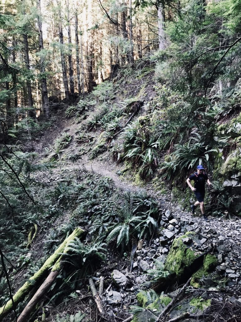
Below I’m serving up some of my favourite one-day, front- and back-country trails, all within three hours of Downtown Vancouver. The list is jam-packed with a variety of terrains, difficulties, elevations, and distances, which means there’s always at least one that can fit your timeline, skillset, and appetite for adventure.
And, what’s the best part of an online list, you ask? It can be updated! You can count on me to keep this list updated with the latest and greatest as I explore our local trails — so hit that “bookmark” button, leave the dirty work to me, pack your bag, and let’s get out onto the trails!
But before you get too deep into planning remember that our Vancouver trails—although oh-so-close to the city—are backcountry wilderness. This means that a heightened awareness and technical skillset is required to stay safe in our own backyard. Here’s some resources to help you prepare:
- For Safety & Trip Planning: BC AdventureSmart
- For Detailed Trail Maps: AllTrails
- For Mountain Weather Forecasts: BC Weather Maps
- For Bear Awareness Resources: BC Forest Safety Council – Bear Aware
- For Packing: Free Download – Trail Running Backcountry Packing List
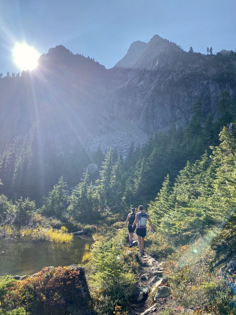
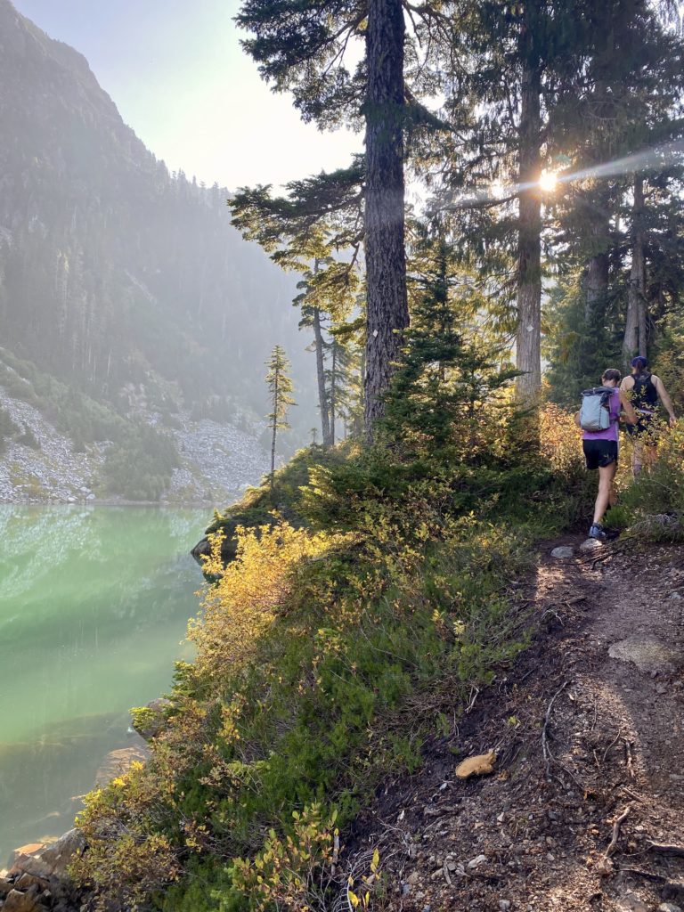
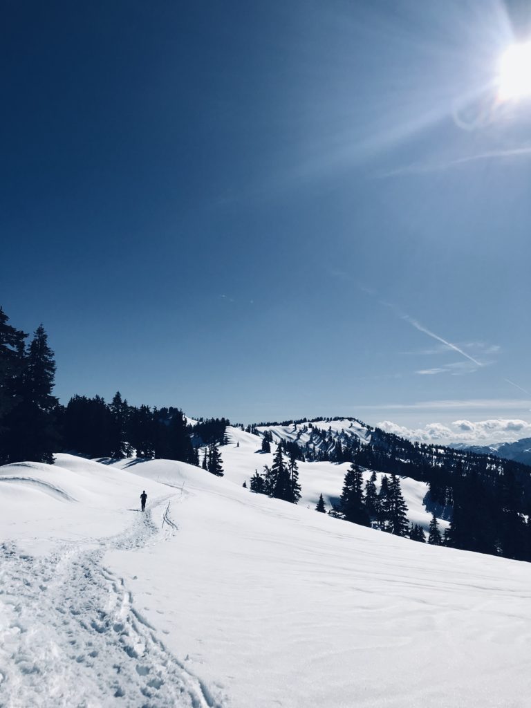
01. Brunswick Lake, Lions Bay
15.6 KM | 1,500 M Elevation. Start with a solid climb on an old dirt service road, before heading up, up, up the tight, switchback trail toward Mount Brunswick. As you peek through the trees, instead of heading to the peak, take the trail north around the mountain. You’ll be greeted with a lovely, runnable descent into the valley behind Brunswick and Hat Mountains. Surrounded by rugged mountains on all sides, take a dip in the turquoise blue lake before heading back!
AllTrails Map: Brunswick Lake Via Howe Sound Crest Trail
02. Brew Lake, Whistler
17.0 KM | 1,000 M Elevation. (A few KMs less if you’ve got a rock solid 4×4!) If not, start on an overgrown, dirt service road before twisting up through the trees. As you start to reach the boulder sections, you’ll know you’re getting close this hidden gem of an alpine lake, just waiting to be savoured. Have some extra time? Add another 3KM to reach the top of Mount Brew and the Brew lake Hut — from up there, the mountains are all yours!
AllTrails Map: Brew Lake
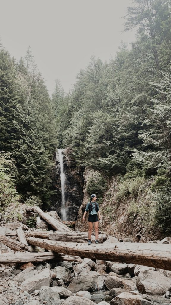
03. Norvan Falls, North Vancouver
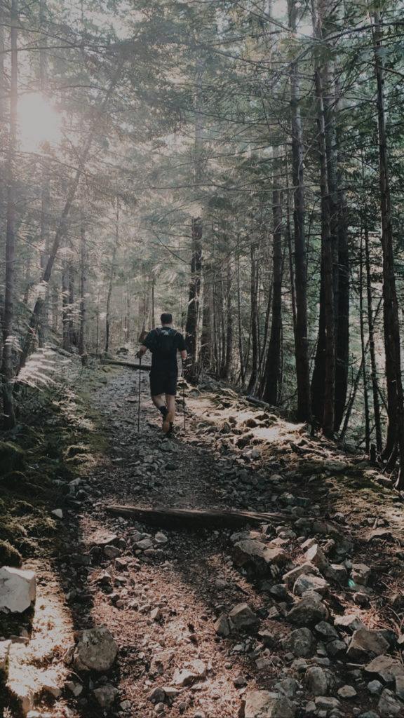
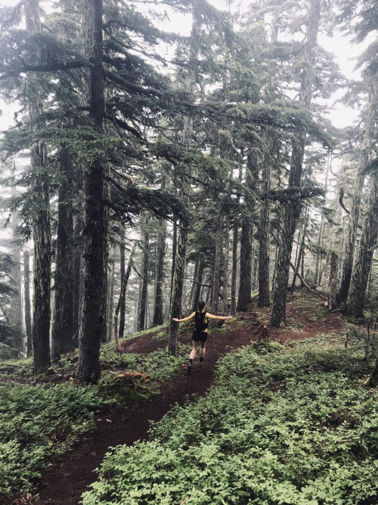
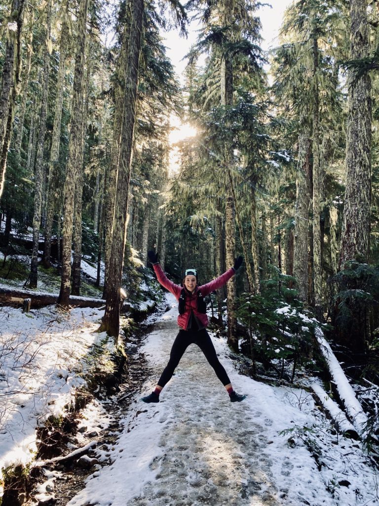
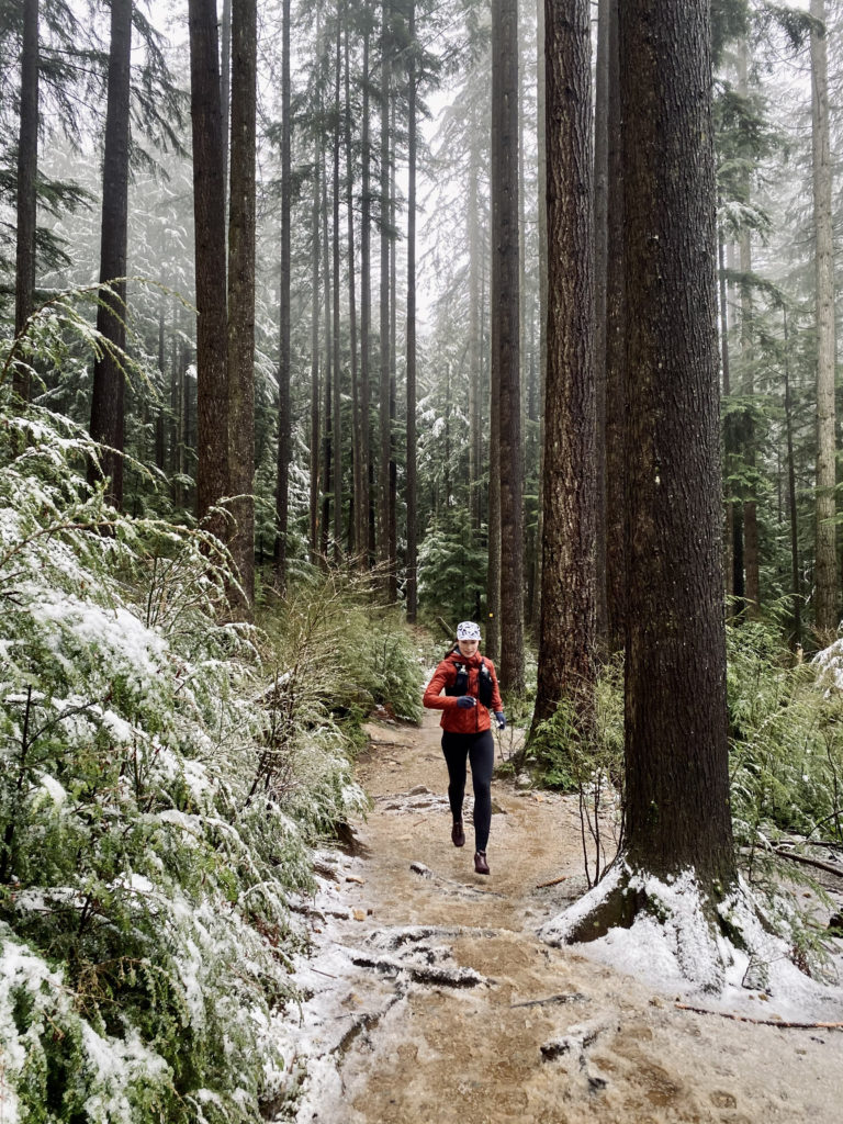
14.0 KM | 360 M Elevation. A classic, runnable out-and-back, only a stone’s throw from our backyards—It’s closeness to home makes this the perfect rainy day adventure or quick forest-bathing excursion. The trail is a gradual ascent all the way to the falls, which makes heading back a breeze. Have some extra time? Loop around Rice Lake on your way back to the parking lot for a few more KMs. Some local intel? Over the winter, the falls sometimes freeze—you’ll need microspikes to see them—but it’s worth the visit!
AllTrails Map: Norvan Falls
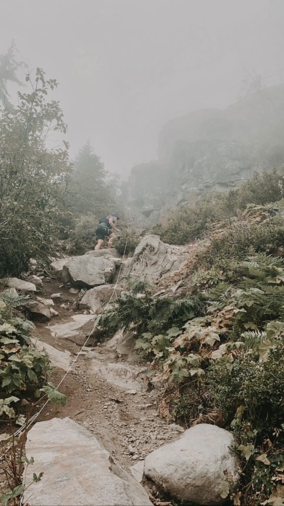
04. The Lions, Lions Bay
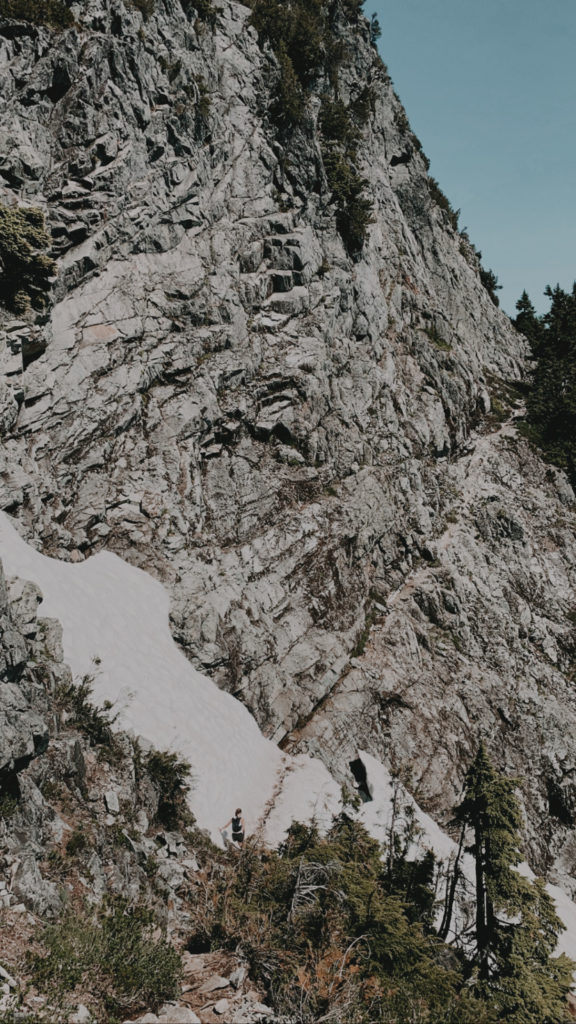
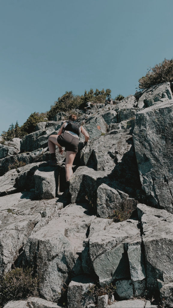
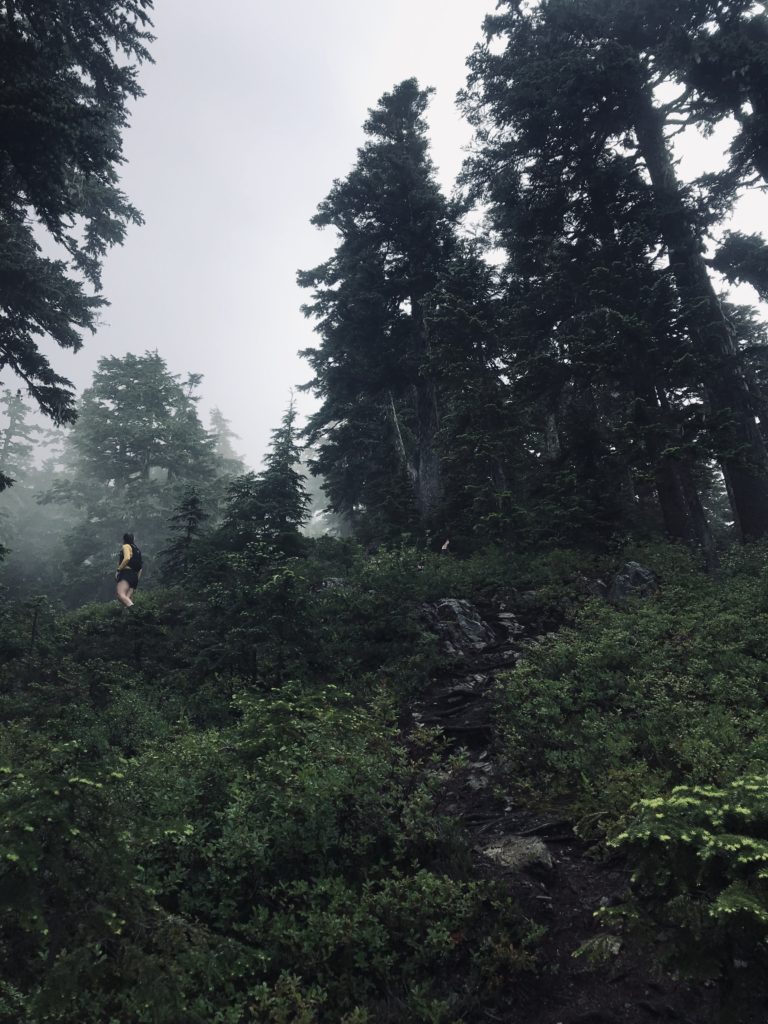
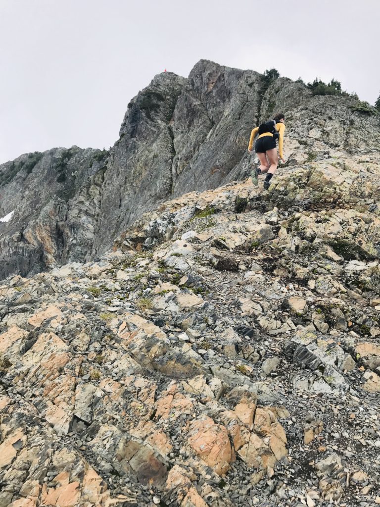
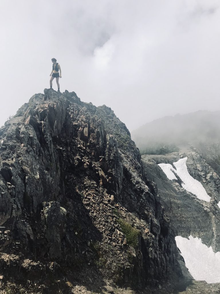
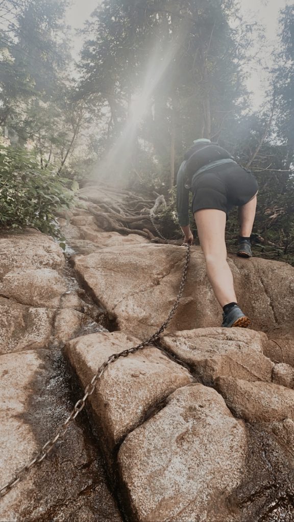
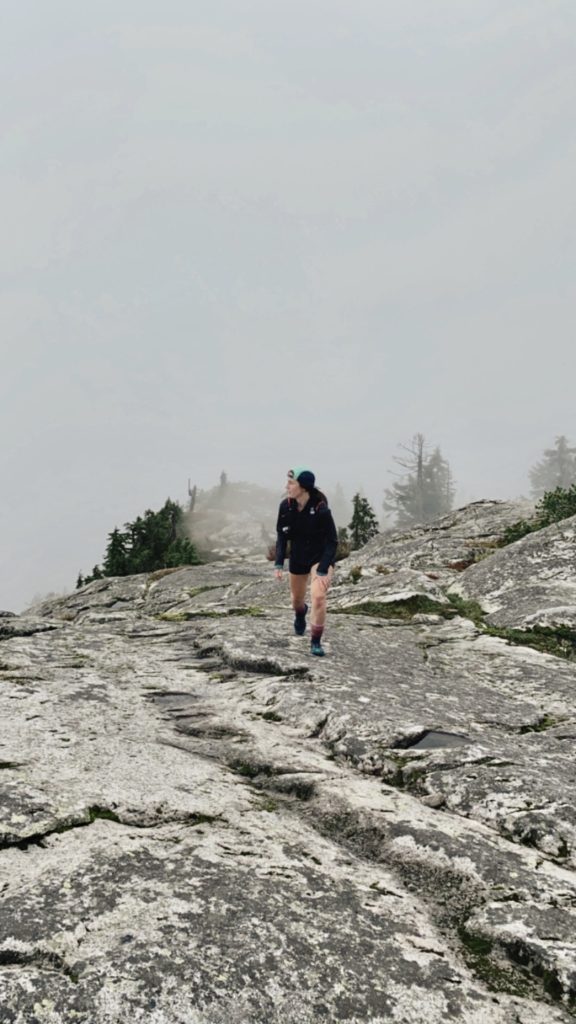
14.6 KM | 1,450 M Elevation. You see them on the horizon wherever you drive, so why not get up close and personal? This is a very long, technical climb, so be prepared to slog it out. Seriously. If you do, you’ll be rewarded with stunning 360-degree views from the rocky slabs near the West Lion, combined with humbling reminders of the rugged, wilderness of our local mountains. Keep your wits about you near the top—being extra diligent to acknowledge when the terrain exceeds your capabilities. The map below links to the starting point at Lions Bay, but if you’d like to explore an alternative route, it can also be accessed via Unnecessary Mountain.
AllTrails Map: The Lions Binkert Trail
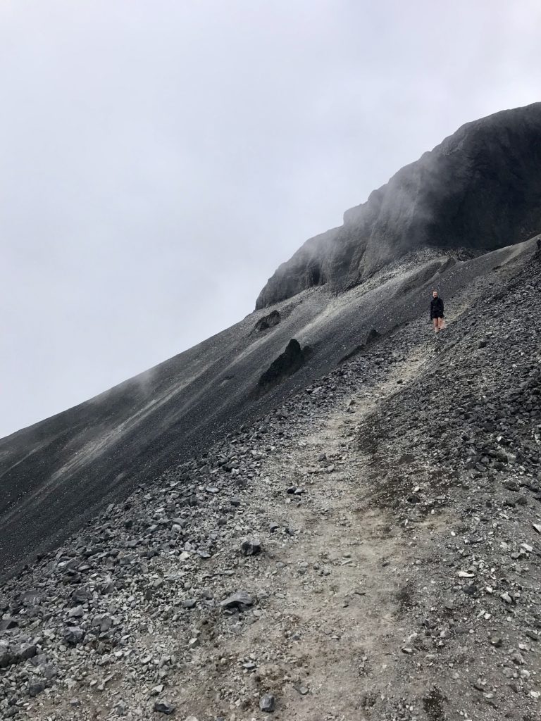
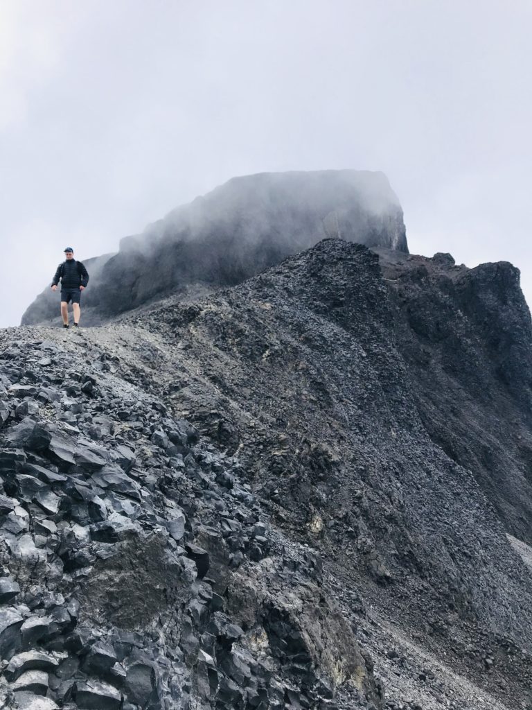
05. Brunswick Mountain, Lions Bay
15.0 KM | 1,550 M Elevation. Not for the faint of heart. This one starts at the same location as Brunswick Lake and The Lions, beginning with a climb up an old dirt service road, which changes into a steep, switchback climb. As you get close to the top, you’ll find yourself tackling a pretty serious scramble, with many sections of loose rocks. If you or your friends have reservations about heights, this may not be the run for you—at the very least, be prepared that someone in your group may decide partway that it’s not for them. And hey! That’s cool. We all have different comfort levels with risk. Up at the peak, you’ll be treated to 360-degree views, with Mount Hanover, Mount Harvey, and Hat Mountain as the backdrop.
AllTrails Map: Brunswick Mountain
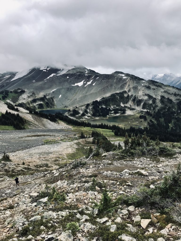
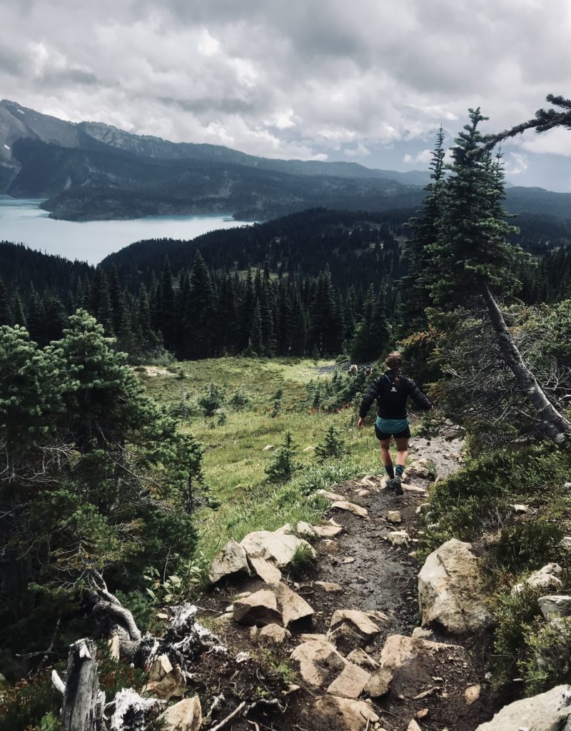
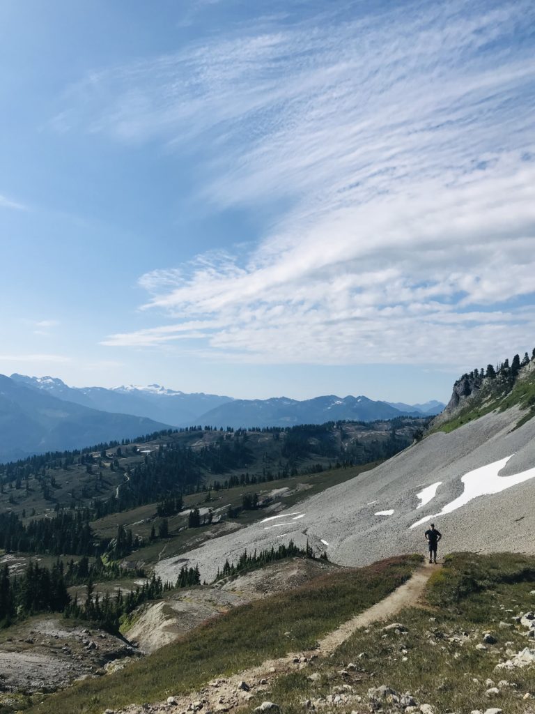
06. Black Tusk, Garibaldi Provincial Park
26.0 KM | 1,650 M Elevation. This full-day excursion is a true Garibaldi Provincial Park Classic. For the first 5-6 KM you’ll twist up and up well-groomed dirt switchbacks, shielded from the hot summer sunshine by the dense tree cover. When you reach the junction you have two choices: southeast to Garibaldi Lake or northeast to Taylor Meadows. If you take the more gradual Taylor Meadows climb on the way up and come back via Garibaldi lake, it allows you to use the terrain to your advantage while getting a glimpse of both parts of the trail (which are quite unique, think: wildflower meadows vs. lakeside stroll).
AllTrails Map: Black Tusk
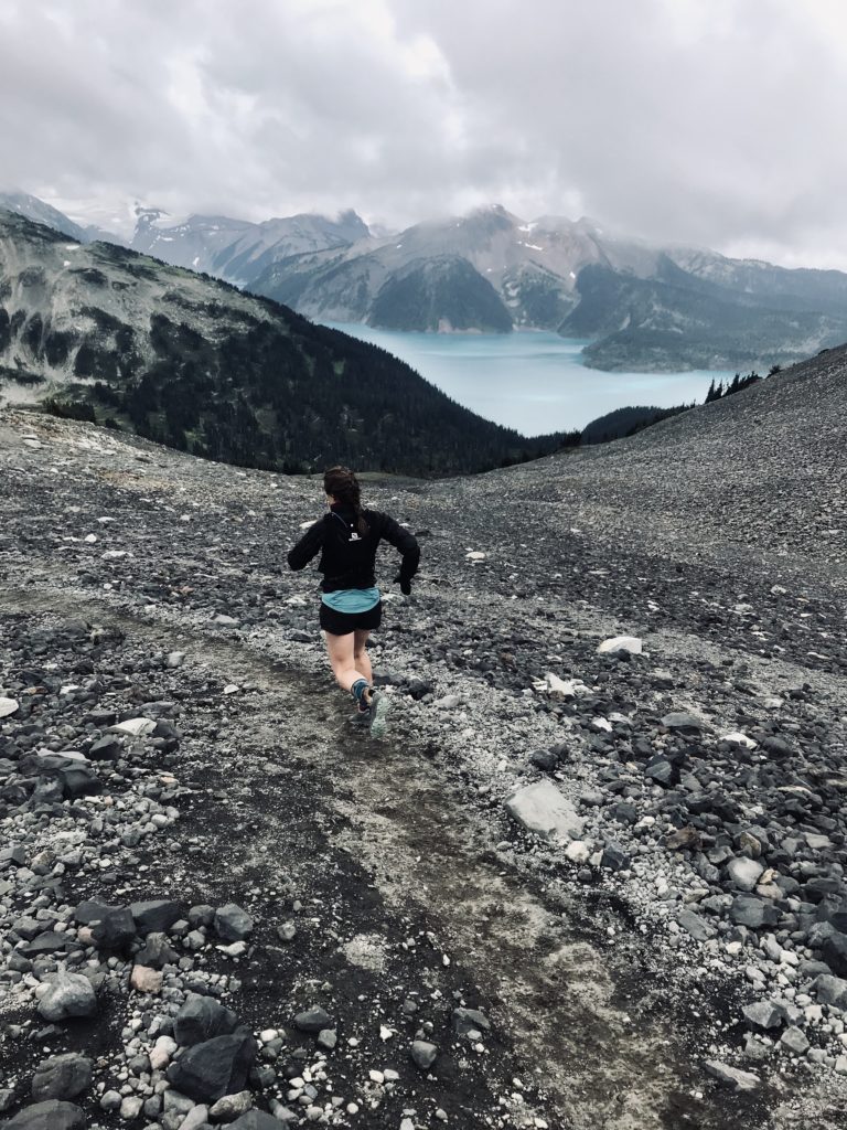
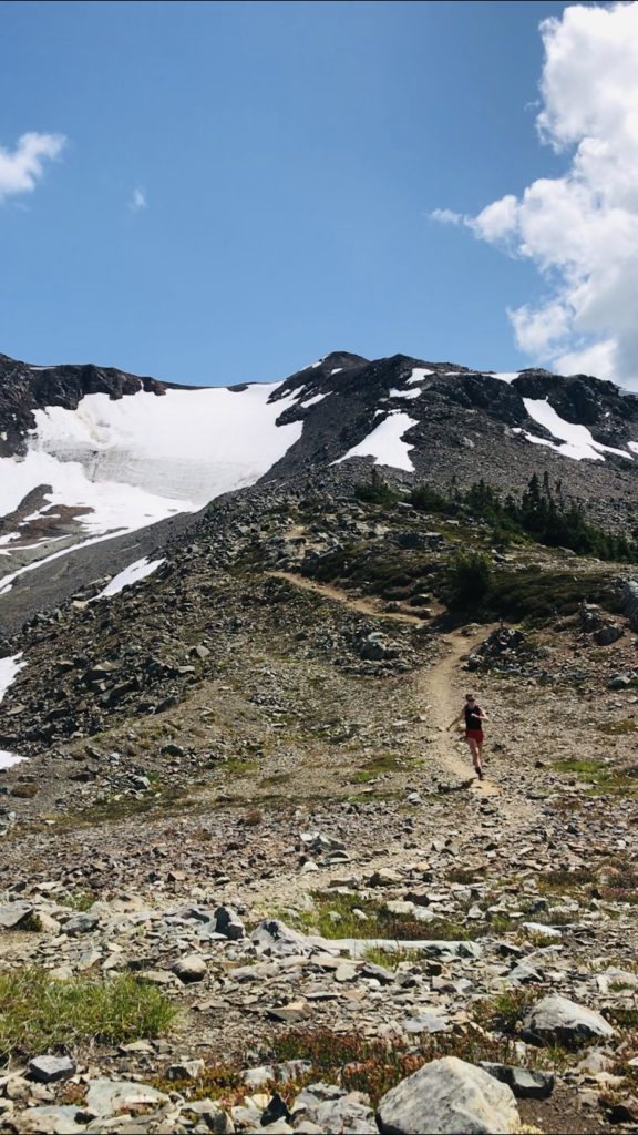
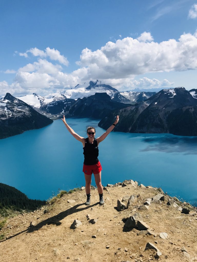
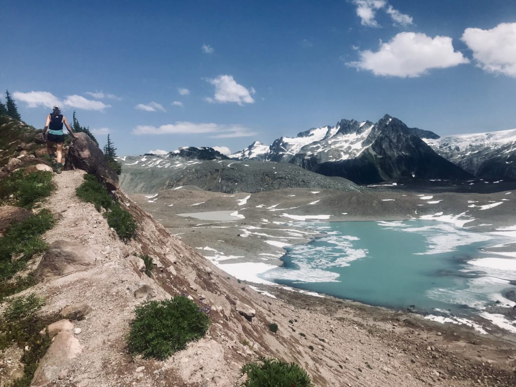
07. Panorama Ridge, Garibaldi Provincial Park
28.0 KM | 1,550 M Elevation. The other Garibaldi Provincial Park Classic! Just like Black Tusk, you can start at Rubble Creek Parking Lot. You’ll head up the switchbacks, through Taylor Meadows, and then past the base of Black Tusk before heading up, up, up, the scrambles to the Ridge—where you’ll have 360-degree views, overlooking the turquoise blue of Garibaldi Lake. Want to change it up? You can ditch the switchbacks in favour of a long, steady climb by starting at Cheakamus Lake (psssst… more often than not, it’s easier to get a BC Parks Day Pass for Cheakamus than it is to get one for Rubble Creek—but! Unlike the road to Rubble Creek, Cheakamus is dirt!)
AllTrails Map: Panorama Ridge
08. Buntzen Lake Trail, Port Moody
12.0 KM | 275 M Elevation. This route is a beginner trail runner’s dream! It’s a perfectly runnable loop with some flow-y ups and downs to get the heart rate pumping. The second best part? It’s highly versatile. Your route can be easily adjusted based on how much elevation you’d like to conquer. Want to add a little spice? When you get to the west side of the lake, head up the Lakeview Trail for a touch more elevation. Want to add in the entire spice rack? Head clockwise, starting with the Diez Vistas Trail. Oof! That’ll get the quads burning!
AllTrails Map: Buntzen Lake Trail
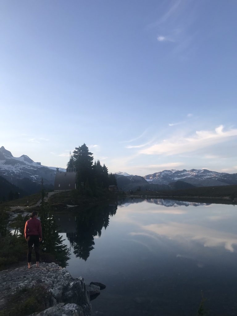
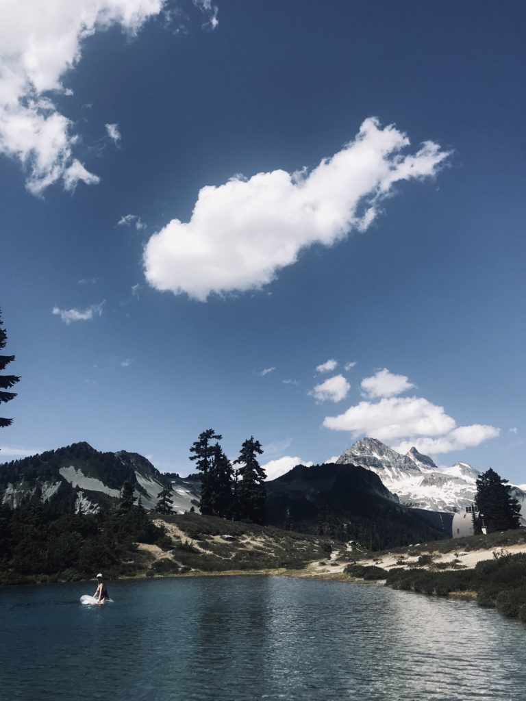
09. Elfin Lakes, Garibaldi Provincial Park
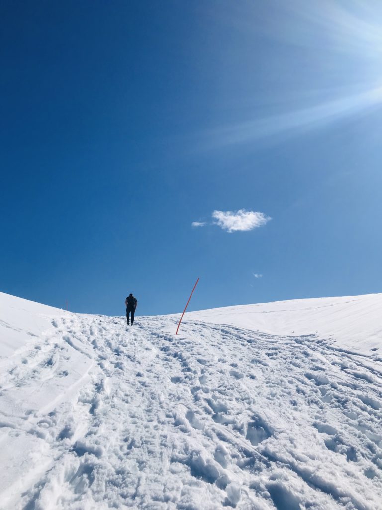
20.0 KM | 800 M Elevation. Elfin Lakes is the most lovely reminder that we needn’t travel far for a postcard-worthy surround-sound mountain-hugging experience. A little lighter on the elevation, this runnable out-and-back on a well-groomed trail is one of my all-time favourites. The first 5 kilometres takes you up a wide, service-road-style trail before reaching the Red Heather Hut, where you can catch some shade before peaking out into full-on alpine for the remainder of the trip. Once you’re at the lakes, check out the overnight hut, devour your snacks, and take a dip in the lake before cruising home. (psssst… if it’s not quite summer season yet, check out the avalanche reports, brush up on your winter hiking preparedness skills, and follow the winter route for a runnable, full-day, snowy alpine adventure)
AllTrails Map: Elfin Lakes
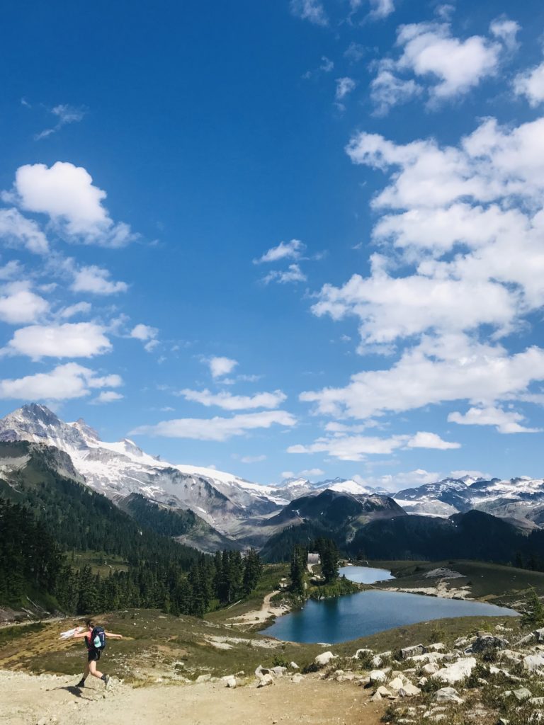
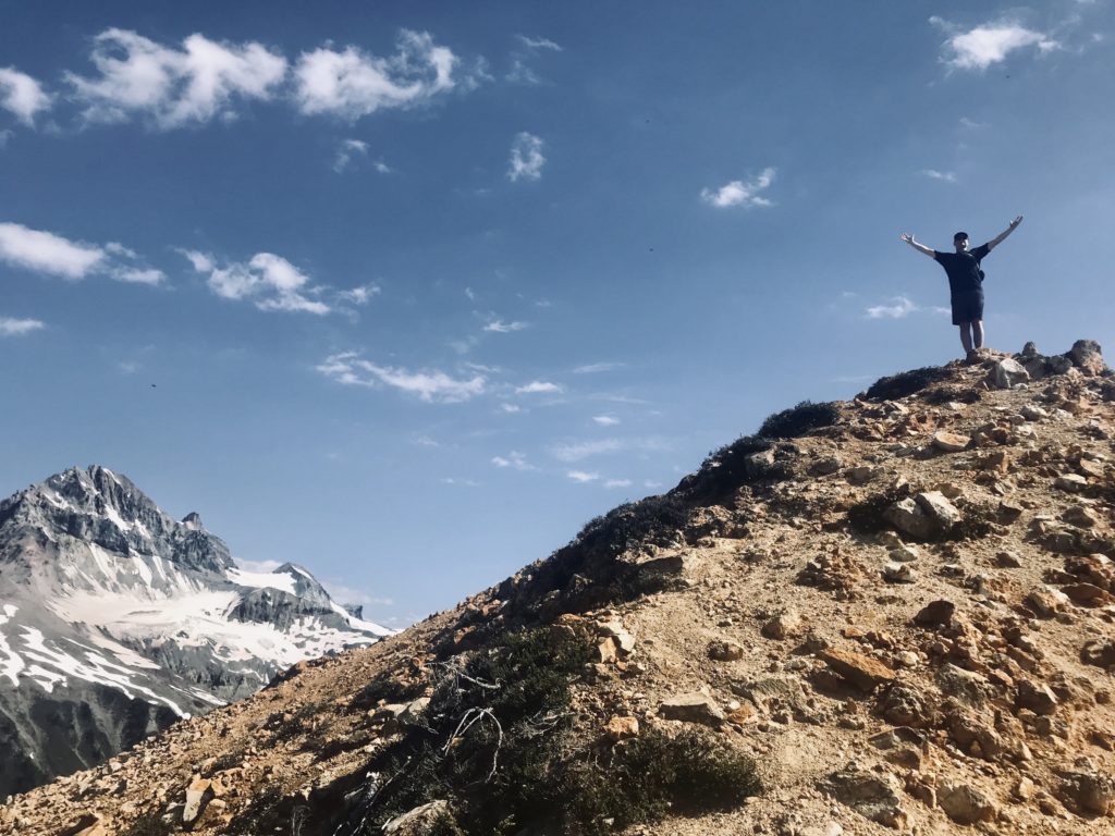
10. Opal Cone, Garibaldi Provincial Park
34.0 KM | 1,600 M Elevation. And if you’re looking for something that’s really out of this world, extend your Elfin Lakes trip another 14 KM to reach Opal Cone—a cinder cone that looks like it borrowed its surrounding landscape straight from Mars. It’s a lengthy-but-doable exposed-to-the-sun full day trip, if you’re up to it and experienced in the backcountry. But! Why rush? Make it an two-night affair by camping at Elfin Lakes, and using the middle day to reach Opal Cone (this could even give you the space and time to check out the Gargoyles, too!)
AllTrails Map: Opal Cone
11. Mount Gardner, Bowen Island
9.5 KM | 680 M Elevation. Planning a staycation on Bowen Island? Why not squeeze in some trail time while you’re there! Short and sweet, on this trail you’ll wind your way up the mountain before reaching the helipad and a lovely ocean view. There’s a number of different trailheads to start from, so pick the closest one to your BnB and get moving! Be extra diligent at the trail junctions—with a spider-web of trails, it’s easy to get turned around.
AllTrails Map: Mount Gardner
12. Lynn Loop, North Vancouver
6.0 KM | 200 M Elevation. A quick-and-dirty get er’ done that you’ll be thankful to have so close to home! If done counter-clockwise, you’ll start on a wide path for a few KMs before tackling all your elevation at once! After that, it’s smooth sailing down a gradual decline all the way back to the parking lot. The Lynn Headwaters front-country trails are accessible all year round (you may need spikes when it’s icy in the winter!) and provide a variety of routes and terrain to give you plenty of KMs of play across all four seasons. Looking to explore a little longer? Check out the Rice Lake Trail, Headwaters Trail, Seymour Valley Trail, or Fisherman’s Trail.
AllTrails Map: Lynn Loop
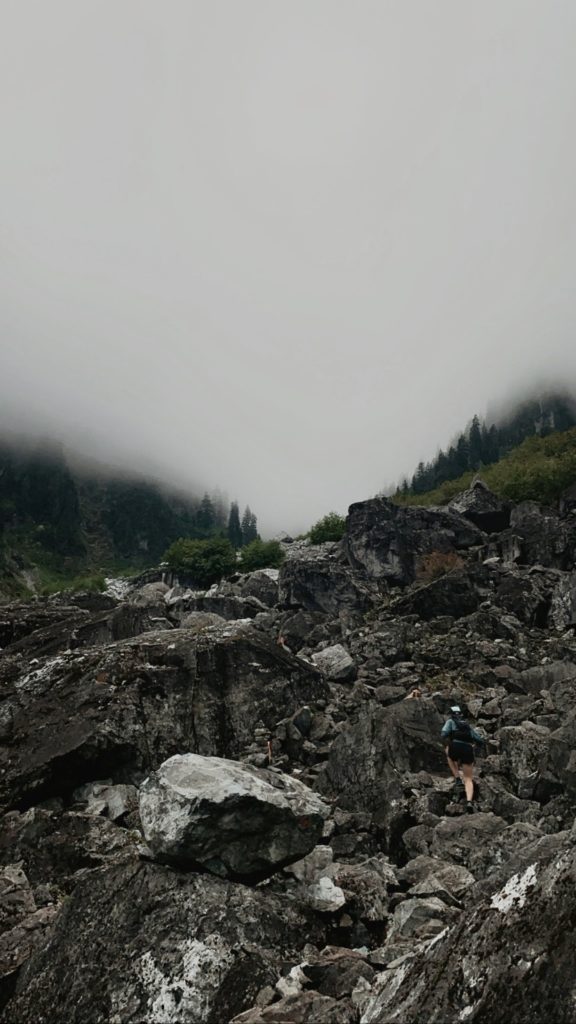
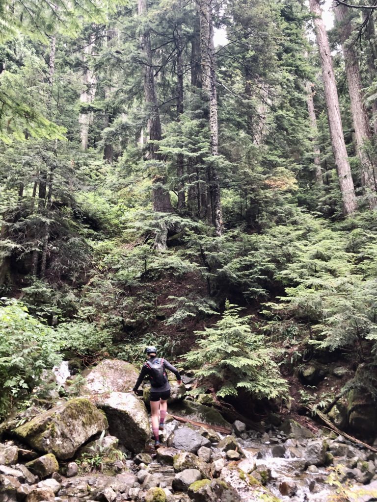
13. Hanes Valley, North Vancouver
17.2 KM |1,600 M Elevation. A whole lot of backcountry, oh-so-close to home. But don’t let it’s proximity to the big city lull you into a state of safety. This route is deceptively runnable to start, but becomes progressively more technical and challenging as you move through the valley. You’ll need to ascent the northeast (back)side of Grouse Mountain via an uphill boulder field, with a bit of scree mixed in. Once you’ve passed the boulders, you’ll continue your ascent past Little Goat and Dam Mountains, before heading down toward the Grouse Mountain Lodge. Want a way to close the loop so you can return to the Lynn Headwaters parking lot (and crush another 10km)? From the Grouse Mountain Lodge, head down the main ski hill alllll theeee waaayyyy until you reach the “Bobsled” mountain bike trail, then connect back to the Baden Powell Trail to reach your destination.
AllTrails Map: Hanes Valley
14. Dilly Dally Loop, Port Moody
24.0 KM | 1,550 M Elevation. Peak after peak after peak! This one begins with a wicked climb, after completing a short jaunt to the Northern End of Buntzen Lake. You’ll then tap three different peaks, Mount Beautiful, Tangled Summit, and Eagle Mountain. This one is a challenging route, so be prepared for it to take longer than expected. But for those capable of tackling the terrain, you’ll be exposed to a healthy mix of it all: forest climbs, river crossings, rocky outcroppings, and marshy wetlands.
AllTrails Map: Dilly Dally Loop
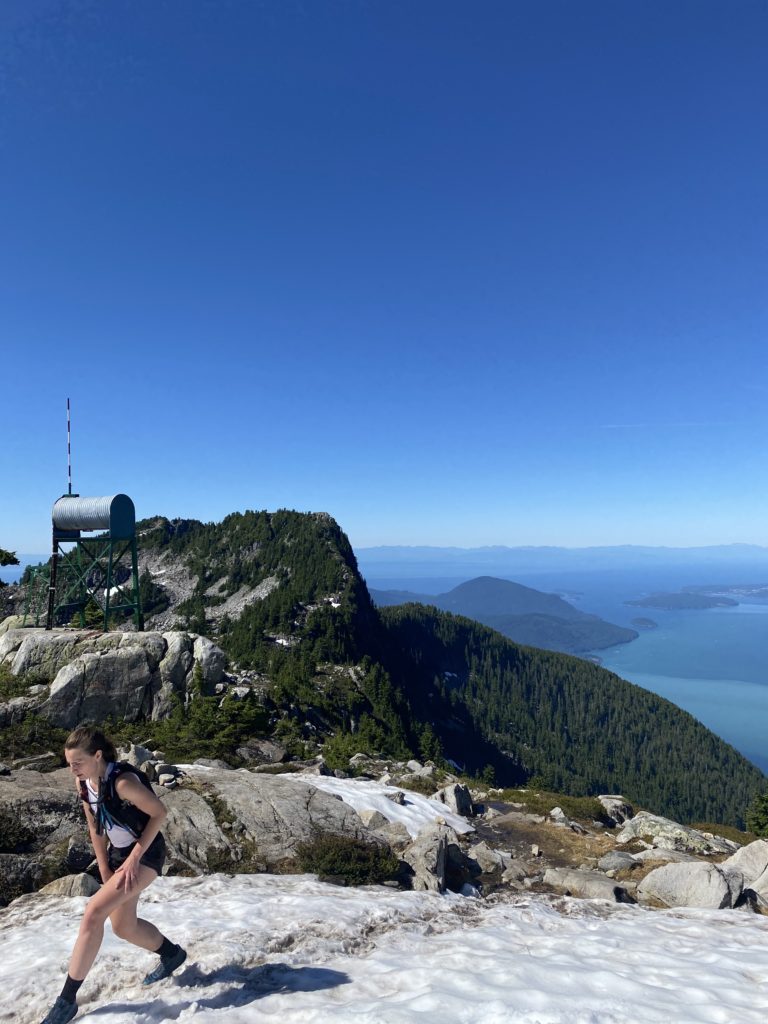
15. Sea To Summit, Squamish
11.0 KM | 940 M Elevation. Ahhh saving one of my favourites, for last. This is my go-to-partially-runnable climb, and one of my preferred trails for solo excursions. There’s enough people on the trails to feel safe, but it’s also wild enough to feel like you’re out there, fully consumed by the trees. And the best part? After you bust it up to the summit, you can grab an iced coffee or slushy lemonade from the lodge. And the best, best part? If you’re still feeling energized, head back down on the trail. Not your thing? No problem, grab a gondola down-ride ticket and take the scenic route!
AllTrails Map: Sea To Summit